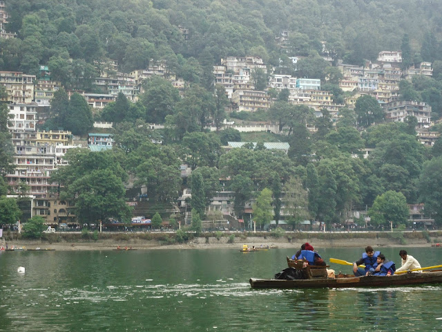
it is also called as lake district of india.
Topography and Hydrology
The lake is bounded by the high and steep Naina peak on the North West side, by the Tiffin Top to the south west side and snow view peaks on the north. Coniferous forest trees cover these hill ranges. The annual rainfall in the basin area of the lake is reported to be 1294.5 mm (43.15 inches). Tropical monsoon climate with maximum temperature 24.6 °C and minimum of 0.5 °C are recorded. The water is reported to be alkaline in nature (ph value of 8.4–9.3).The lake receives flows from the surrounding catchment basin which comprises the hill slopes and springs. The hydrologic studies related to water balance and sedimentation was done using radioisotopes for estimating/measuring the various components of the inflow and outflow into the lake. Studies indicated that the subsurface inflow and outflow were significant – ranging from 43 to 63% and 41 to 54%, respectively, of the total inflow and outflow, except in years of exceptionally heavy rainfall. The components of outflows were the surface outflow, the subsurface outflow through the springs on the downstream side and draft through wells for meeting the water supply of Nainital town and evaporation loss from the lake surface. The mean water retention time for the lake was computed as 1.16 years for the mean annual rainfall.
picture taken by- raaz mewar
No comments:
Post a Comment